Los Angeles in Maps Book
Item # 39465
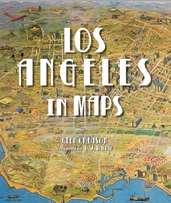
Written by Glen Creason, Foreword by D.J. Waldie, Contribution by Joe Linton and Morgan P. Yates
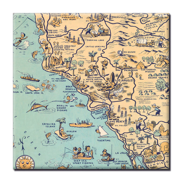
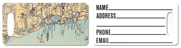
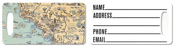
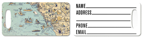
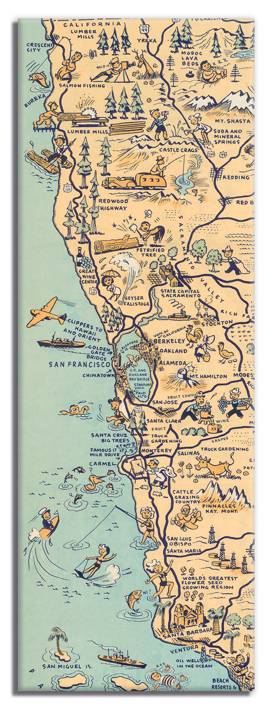
An illustrated cartographic history of the City of Angels from the colonial era to the present. Los Angeles inhabits a place of the mind as much as it does a physical geographic space. A land of palm trees and movie stars, sunshine and glamour, the city exists in the imagination as a paradise; of course, the reality is much bigger than this. Through seventy reproductions of seminal and historic documents, Los Angeles in Maps presents the evolution of this almost mythical place. Maps featured include historic Spanish explorersÕ charts from as early as 1791, as well as more recent topographic surveys, tourist guides, real estate maps, birdÕs-eye views, and more. Like the course of the Los Angeles River, the book winds through essential terrain: the discovery of oil, the rise of Hollywood, the streetcar system, Los Angeles Harbor, earthquakes, sprawl, and splendor.
An illustrated cartographic history of the City of Angels from the colonial era to the present. Los Angeles inhabits a place of the mind as much as it does a physical geographic space. A land of palm trees and movie stars, sunshine and glamour, the city exists in the imagination as a paradise; of course, the reality is much bigger than this. Through seventy reproductions of seminal and historic documents, Los Angeles in Maps presents the evolution of this almost mythical place. Maps featured include historic Spanish explorersÕ charts from as early as 1791, as well as more recent topographic surveys, tourist guides, real estate maps, birdÕs-eye views, and more. Like the course of the Los Angeles River, the book winds through essential terrain: the discovery of oil, the rise of Hollywood, the streetcar system, Los Angeles Harbor, earthquakes, sprawl, and splendor.