1
/
of
1
Elevated Railroads (Lower Manhattan) Print
Item # 18182-20
- Regular price
-
$37.00 - Regular price
-
- Sale price
-
$37.00
Couldn't load pickup availability
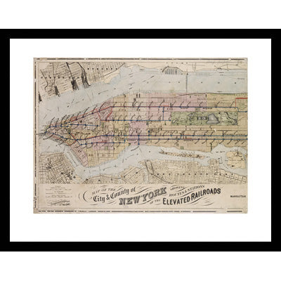
Map of the City and County of New York showing Routes & Stations of the Elevated Railroads (Lower Manhattan)
Reproduced from the collection of the New York Public Library
Pictured to the left framed.
Available in the following sizes:
16x20" for $33 unframed
16x20" for $104.50 framed
22x28" for $66 unframed
22x28" for $165 framed
36x48" for $104.5 unframed
Size in inches Height x Width
Paper: 16 x 20 Image: 10 15/16 x 15
Paper: 22 x 28 Image: 16 x 22
Classic black frame measures 1 1/16" wide.


Elevated Railroads (Lower Manhattan) Print
- Regular price
-
$37.00 - Regular price
-
- Sale price
-
$37.00


