Collection:
Subway Map Collection
Gifts featuring the iconic New York City Subway Map.
The MTA Map or Subway Map NYC, commonly referred to as the New York City Subway Map, is an essential aid for getting around the intricate underground network in the Big Apple. "It" is an iconic representation of the city's transit system. It displays the complex network of subway lines and stations in a simplified and easy-to-read format.
The NYC subway map is an essential resource for both locals and tourists. It provides valuable information on how to get around the city efficiently and effectively. It is available in several formats, such as print and digital versions. The map can be found in subway stations and online.
One of the most notable features of the subway map NYC is its design. A color-coding system has been implemented on the map, allowing for simple recognition of the subway lines and making it effortless to spot the right train and transfer station. The map includes important information about subway stations. For example, which lines are available at each station and any nearby landmarks or attractions.
One of the most popular subway maps is the official MTA map. It is regularly updated to reflect any changes or updates to the subway system. The official MTA map is also available in different languages, making it accessible to a broader range of people.
In conclusion, the subway map NYC is an essential resource for anyone traveling in New York City. Whether you are a local or a tourist, the subway map provides valuable information. It helps you to get around the city and access its many attractions. By familiarizing yourself with the subway map and the different subway stations, you can navigate the city with confidence and ease.
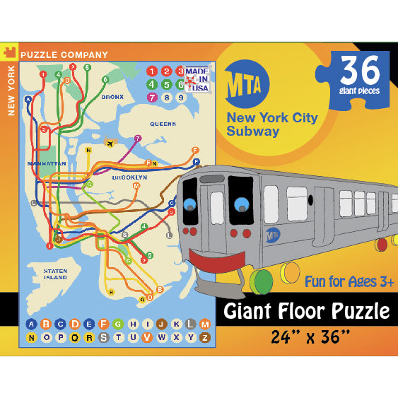
 New York Subway Map PuzzleNew York Subway Map Puzzle
 Subway Map (Manhattan) T-ShirtSubway Map (Manhattan) T-Shirt
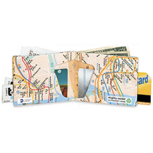
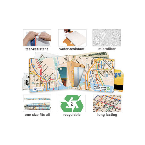
 New York Subway Map Mighty WalletNew York Subway Map Mighty Wallet
 Subway Map MagnetSubway Map Magnet
 Subway Map MugSubway Map Mug
 Subway Map - Long MagnetSubway Map - Long Magnet
 Subway Map Playing CardsSubway Map Playing Cards
 Subway Map PenSubway Map Pen
 Subway Map Blue T-ShirtSubway Map Blue T-Shirt
 Subway Map - Black MagnetSubway Map - Black Magnet
 Subway Map Note CubeSubway Map Note Cube
 Subway Map - White MagnetSubway Map - White Magnet
 Subway Map - Blue Coin BagSubway Map - Blue Coin Bag


